Drones in construction are reliable and efficient
By Staff Report | November 21, 2024 2:11 pm SHARE
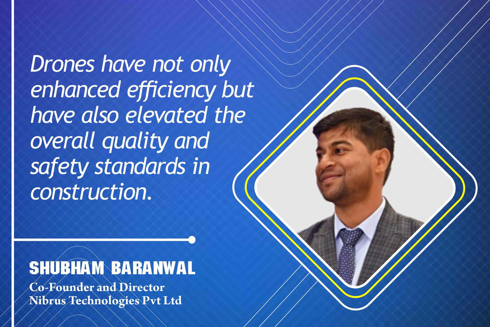
In an engaging conversation with Shubham Baranwal, Co-Founder and Director of Nibrus Technologies Pvt Ltd, we explore drones’ transformative role in enhancing safety, data accuracy, and overall project efficiency in the construction sector.
How have drones changed traditional workflows in construction projects? In what ways does it enhance data collection and analysis on construction sites?
Drones have fundamentally transformed the workflows in construction projects, significantly enhancing data aggregation, safety, and decision-making quality through advanced analytics. Drones can collect detailed, high-resolution aerial imagery faster than traditional ground surveys. They allow us to produce 3D maps, models, and point cloud data of construction sites, all while minimising human error. When we first introduced drones to survey consultants, many viewed them as a costly, advanced technology. However, with our affordable solutions, these professionals were able to exponentially grow their businesses in a short period.
One of the key benefits of drones is their ability to provide highly accurate data, which is essential for improving building construction and tracking progress. Drones offer real-time data updates, enabling us to monitor developments as they happen. Additionally, drones play a vital role in minimising human risk. They facilitate the remote inspection of hazardous areas, making it safer and more accessible to assess locations that typically require scaffolding or lifts. This capability significantly reduces the risk of accidents on-site.
Drones also streamline volume estimation processes. Photogrammetry software, for example, allows estimating the volumes of stockpiles and excavation areas more quickly and accurately than manual methods, ultimately saving both time and resources. Furthermore, drones can capture images of environmental factors such as erosion, vegetation health, and water runoff. The data obtained from these images serve as a powerful catalyst for building sustainably.
Continuous data collection via drones ensures that every step of the construction phase is documented for quality assurance and dispute resolution purposes, particularly concerning boundary estimations or construction progress. In essence, drones have enhanced efficiency and elevated the overall quality and safety standards in construction.
What specific benefits have your drone technologies brought to mining companies regarding operational efficiency and cost savings?
Our drone technology has significantly benefited mining operations, enhancing efficiency and reducing costs. Our drone, Surveyaan V1, can cover up to 60 to 70 hectares in a single flight. This capability drastically minimises the time needed to survey expansive mining areas, allowing for quicker data collection and analysis. The drone’s 23MP high-resolution camera captures detailed images crucial for accurate topographic mapping, resource monitoring, and stockpile measurement. This improved accuracy leads to better planning and a reduction in errors.
Safety is another key area where our technology excels. When dangerous or hard-to-reach locations cannot be accessed, the Surveyaan V1 can ascend to heights of 120 meters and survey areas within a range of 1.5 kilometres. Its fail-safe features ensure safe landings and automatically trigger a return-to-home function in case of camera failures or magnetic interferences caused by heavy machinery. This minimises the risk of equipment damage or loss during operations.
In terms of economic performance, the drone is both reliable and efficient. It can complete long surveying missions without interruptions, boasting a flight time of 25 to 28 minutes. This capability allows us to resume operations quickly, even over large areas. Furthermore, the Surveyaan V1 can operate in winds of up to 25 km/h, ensuring that performance remains steady and that work proceeds without delays, thereby preventing any loss of valuable time. Additionally, the drone’s environmental monitoring capabilities enable us to track changes like erosion or water runoff, compelling mining companies to comply with regulatory standards and avoid costly penalties. It can also monitor the surrounding areas for illegal mining, poaching, and other unauthorised actions.
Can you elaborate on how your products, like Surveyaan v1 and GeoWorkspace, integrate AI and drone technology to enhance survey accuracy and efficiency?
Our AI-powered cloud Photogrammetry platform, Surveyaan GeoWorkspace, has transformed how we approach precision mapping and analysis in various industries. By leveraging AI and machine learning algorithms, GeoWorkspace processes large datasets collected by drones, converting them into detailed 3D models, contour maps, and digital terrain models. This capability allows us to obtain precise measurements for landforms, structures, and resources, enhancing the overall accuracy of our projects.
One of GeoWorkspace’s key advantages is its automated processing feature. Incorporating AI enables the platform to automatically perform data processing workflows, significantly reducing the time required to transform raw drone data into actionable information. This automation minimises human intervention and accelerates operations, ultimately leading to improved project efficiency.
GeoWorkspace also includes smart anomaly detection capabilities. By analysing changes over time—such as shifts in stockpile volumes, erosion, or unauthorised encroachments—this feature provides stakeholders with real-time insights, empowering them to make quicker and more informed decisions.
Scalability and flexibility are fundamental aspects of Surveyaan’s cloud-based photogrammetry solution. It can handle large datasets without being constrained by local hardware, allowing users to process high-resolution images and generate 3D and 2D models, regardless of project size. Our powerful remote servers expedite the data processing, reducing the time required to create 3D models, orthomosaics, and point clouds. Because it is cloud-based, users can access their projects from any location, facilitating collaboration among teams across different regions.
Another major benefit is cost-effectiveness. Since processing occurs in the cloud, there’s no need for expensive local hardware to manage large photogrammetry tasks, reducing upfront investment costs. Additionally, our flexible pricing models allow users to pay only for the resources they use, making it especially advantageous for smaller projects or startups.
Data security is paramount, and our cloud photogrammetry software incorporates robust security features, including encryption and secure access control, to safeguard sensitive project data. With data stored in the cloud, projects are automatically backed up, ensuring no information is lost during local hardware failures.
Our platform integrates with GIS systems, CAD software, and other industry tools, helping streamline workflows across various platforms. The combination of scalability, efficiency, cost savings, enhanced collaboration, and security makes Surveyaan GeoWorkspace an invaluable tool for those requiring precise and rapid aerial imagery processing.
Similarly, our automated drone, Surveyaan V1, has revolutionised data collection. It allows for rapidly gathering high-resolution aerial imagery, significantly reducing the time required compared to traditional ground surveys. Surveyaan V1 produces 3D maps, models, and point cloud data with minimal human error, ensuring accuracy and reliability.
With advanced sensors, GPS, and high-resolution cameras, Surveyaan V1 enhances the precision of mapping, surveying, and inspections. Photogrammetry can generate highly accurate 3D and orthomosaics, providing exact elevation models, contour mapping, and topographic details.
The drone also excels in volumetric calculations, delivering accurate measurements of stockpiles, earthworks, or excavation sites. This capability eliminates manual surveying and provides reliable results in significantly less time. Additionally, the data captured by Surveyaan V1 can be processed and analysed quickly when integrated with GeoWorkspace, enabling faster turnaround times for project planning, decision-making, and reporting.
With pre-programmed flight paths and automated data capture, Surveyaan V1 enhances productivity by eliminating manual data collection, allowing quicker data acquisition and analysis. The high-quality visuals captured by the drone facilitate detailed site documentation, which can be invaluable for tracking progress and reporting to stakeholders in industries like real estate, mining, and construction.
Drones like Surveyaan V1 are environmentally friendly. They typically consume less energy and reduce the need for heavy machinery or vehicles, significantly lowering the environmental footprint of operations such as land surveys or crop monitoring. Surveyaan V1 and GeoWorkspace also considerably increase productivity, help companies manage resources more effectively, and ensure safety and compliance across various projects.
For more information, visit: https://www.surveyaan.com/
Cookie Consent
We use cookies to personalize your experience. By continuing to visit this website you agree to our Terms & Conditions, Privacy Policy and Cookie Policy.














-20240213125207.png)

